
The Cotswold Way at a glance
The Cotswold Way runs for 102 miles (164 km) between Chipping Campden in the north and Bath in the south. It ends at Bath Abbey, at a paving disc in front of the west entrance. The trail is open all year. The usual time to walk the whole route is 7 to 10 days, and it includes many steep climbs, so allow for slow days.
You can walk it in either direction. The sections below follow the order from Chipping Campden to Bath. Treat them as one sample way of splitting the trail and not as set daily distances.
The stages with distances
This is a sample split into 15 sections, taken from the National Trail guidance published in June 2026. Distances are rounded, so do not add them up to the total length.
| Section | Distance | Note |
|---|---|---|
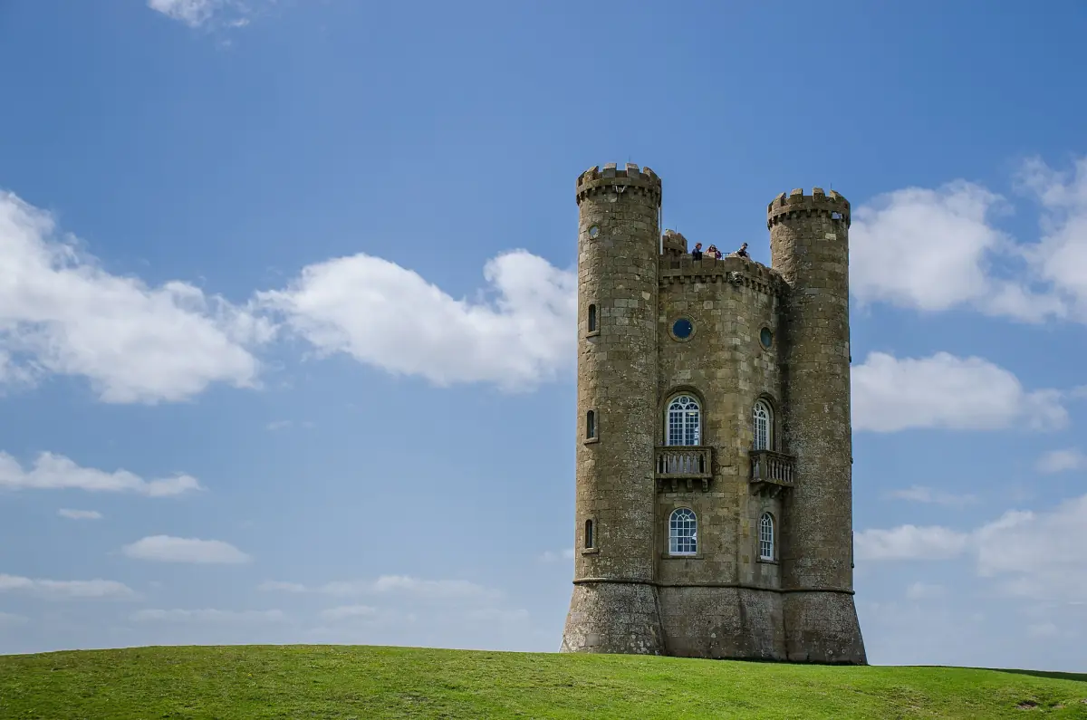
| Chipping Campden to Broadway | 6.0 miles (9.6 km) | Passes Dover's Hill and Broadway Tower |
| Broadway to Wood Stanway | 6.5 miles (10.5 km) | – |
| Wood Stanway to Winchcombe | 5.5 miles (8.8 km) | – |
| Winchcombe to Cleeve Hill | 5.6 miles (9.0 km) | – |
| Cleeve Hill to Dowdeswell | 5.5 miles (8.9 km) | – |
| Dowdeswell to Leckhampton Hill | 4.7 miles (7.6 km) | – |
| Leckhampton Hill to Birdlip | 5.6 miles (9.0 km) | Check the diversion notice |
| Birdlip to Painswick | 8.6 miles (13.9 km) | – |
| Painswick to King's Stanley | 7.8 miles (12.6 km) | – |
| King's Stanley to Dursley | 7.2 miles (11.6 km) | – |
| Dursley to Wotton-under-Edge | 7.3 miles (11.8 km) | Shorter route of 4.8 miles (7.8 km) |
| Wotton-under-Edge to Hawkesbury Upton | 7.4 miles (11.9 km) | – |
| Hawkesbury Upton to Tormarton | 7.7 miles (12.4 km) | – |
| Tormarton to Cold Ashton | 6.6 miles (10.6 km) | – |
| Cold Ashton to Bath | 10.3 miles (16.5 km) | Finishes at Bath Abbey |
The longest sections are Cold Ashton to Bath and Birdlip to Painswick. Plan your nights around your own fitness, your accommodation and any diversion, not around this table.
Cotswolds walking and sightseeing tours
Guided Cotswold day trips, with live prices and availability, for days when you want a rest from the trail.
Waymarks and diversions
Look for the acorn symbol or the trail name on signs and posts. The trail is waymarked in both directions. A waymark does not prove that a section is open. If the trail is closed or diverted, follow the signed diversion.
A diversion near Birdlip, linked to the A417 works, has been reported since 3 July 2026 and is expected to last at least six months. Check the National Trail notice for the stretch between Leckhampton Hill and Birdlip before you start, because the diversion can change the length and the time you need. Road works on the A417 have also been changing. In the update of 18 September 2026 single-lane sections remain, so add extra travel time if you drive to the Birdlip area.
Opening a road does not reopen a footpath. Treat the two as separate questions.
Planning the walk
The basics to settle before you book anything.
Pick your direction and start
Chipping Campden is the northern end and Bath Abbey the southern end. Chipping Campden has a market hall and a High Street, described in our Chipping Campden guide.
Decide on the number of days
The usual range is 7 to 10 days. A longer plan gives you time for the steep climbs and for towns on the way, such as Winchcombe and Painswick.
Book nights near the stage ends
Look at the stage ends in the table, then compare places in our where to stay guide. Broadway has a village High Street and is covered on its own Broadway page.
Choose your season
The trail is open all year, but weather and daylight change. Our best time to visit page has monthly temperatures and rainfall.
Country rules on the trail
The countryside guidance asks walkers to stay on signposted public paths unless there is a wider right of access. Leave gates as you find them, do not block farm tracks with your car and take your litter home. Do not light fires and do not barbecue unless a sign allows it.
If you walk with a dog, keep it on a lead near grazing animals. The guidance recommends at least 10 m of space from livestock. This is advice, not a law that fits every animal.
Shorter walks in the Cotswolds
If you do not want a multi-day trail, there are shorter options. A walk leaflet for the Slaughters and Bourton describes a circuit of 3.2 miles (5 km) that takes about 2 hours. It follows the River Eye between Lower Slaughter and Bourton-on-the-Water and crosses the busy Fosse Way, so cross with care. The leaflet is undated, so do not rely on details such as museum opening or bus services.
You can also take the first section of the Cotswold Way on its own. Chipping Campden to Broadway is 6 miles (9.6 km) one way. Our Bourton-on-the-Water guide has the river and parking details.
The Cotswold Way: frequently asked questions
How long is the Cotswold Way?
102 miles (164 km), from Chipping Campden to Bath Abbey.
How many days does it take?
The usual time is 7 to 10 days. Many sections have steep climbs.
Where does the Cotswold Way start and end?
It starts in Chipping Campden and ends at Bath Abbey, at a paving disc in front of the west entrance.
How is the trail marked?
With an acorn symbol or the trail name, in both directions. A waymark does not mean a closed section is open, so follow any signed diversion.
Is there a diversion on the trail now?
A diversion near Birdlip has been reported since 3 July 2026 and is expected to last at least six months. Check the current National Trail notice before you walk that stretch.
Can I walk it in winter?
The trail is open all year, but daylight is short and rain is higher in the winter months. See the best time to visit page for monthly figures.